
Greenville Postal Coverage by ZIP
The North Carolina Department of Revenue’s ZIP table associates Greenville with five postal codes: 27833, 27834, 27835, 27836, and 27858. The table is a state tax and geography association, not an address-level delivery promise. It also records a Beaufort County context for 27834. For that reason, the areas column below states only the documented Greenville/Pitt association rather than inventing neighborhood boundaries.
| ZIP | Areas covered | Post office | Notes |
|---|---|---|---|
| 27833 | Greenville/Pitt association in the NC DOR table | Confirm exact address through USPS | Do not infer universal street coverage. |
| 27834 | Greenville/Pitt association in the NC DOR table | Greenville Post Office | Also appears with Beaufort County context; Greenville Post Office uses 27834-9998. |
| 27835 | Greenville/Pitt association in the NC DOR table | Confirm exact address through USPS | Address-level confirmation is required. |
| 27836 | Greenville/Pitt association in the NC DOR table | Confirm exact address through USPS | Address-level confirmation is required. |
| 27858 | Greenville/Pitt association in the NC DOR table | ECU Station | ECU Station uses 27858-9997, so organization and delivery-point details can matter. |
Grimesland 27837 and Winterville 28590 are nearby Pitt-area postal cities, but the same table keeps them separate from Greenville. Their proximity does not make them Greenville postal codes. The safe label is a postal-city association, followed by USPS verification for the actual address.
Confirm a Greenville ZIP at the Door
USPS location search is the delivery-point check. Search by address or by city and state instead of assuming a code covers every street in a named city. The research identifies the Greenville Post Office at 300 W 2nd Street, Greenville, NC 27834-9998, phone 252-752-2153. It also lists ECU Station at 806 E 10th Street, Greenville, NC 27858-9997, and South Memorial at 2728 S Memorial Drive, Greenville, NC 27834-9997.
Those locations are post-office examples, not a complete set of boundary polygons. A postal facility address cannot establish the extent of a delivery area. Use the official lookup every time the exact mailing label matters, including when an address is near a city, county, or postal-city edge.
USPS Locations is the official address and city/state lookup source used for the Greenville postal check.
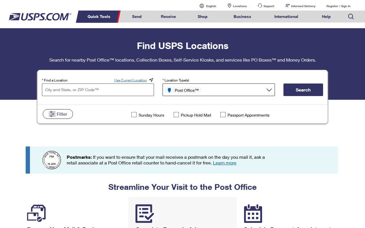
USPS confirmation should come before assigning a delivery-point ZIP to a parcel or a historical directory address.
Greenville ZIP Code Directory Map Layer
GreenvilleLink has a ZIP code layer alongside address, county-address, parcel, street, district, historic-property, zoning, neighborhood, city-limit, and ETJ layers. The layer is valuable for orientation. It lets a researcher see why a postal label may cross a street, city boundary, or parcel pattern. It should be read as one geographic overlay, not as the legal answer for a delivery address.
Compare the ZIP layer with city limits and ETJ when local jurisdiction matters. Then use the county parcel record for legal land geography and USPS for the address label. This sequence preserves the separate meanings of a postal code, tax parcel, municipal line, and mailing address.
GreenvilleLink’s MapServer publishes the city’s ZIP and related map layers.
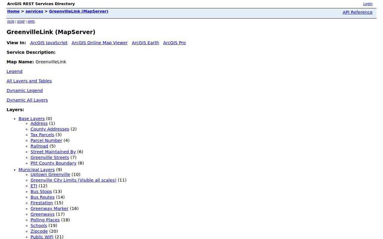
The same map can display several geographies at once, which is why no single layer should be presented as the final address authority.
Find Greenville Records Within a ZIP
A ZIP narrows geography, but the local portals do not all search that geography the same way. GreenvilleLink supplies the local ZIP layer. Pitt OPIS supplies parcel, owner, NCPIN, and address controls, while its documented advanced fields include tax value, neighborhood code, acreage, and other parcel attributes. The inspected OPIS help does not establish a dedicated ZIP search field. Do not promise a ZIP filter there.
- Begin with the state table only to identify the documented Greenville postal associations.
- Verify the exact delivery point with USPS before assigning an address to a postal code.
- Open GreenvilleLink’s ZIP layer with streets, city limits, ETJ, and parcels for geographic context.
- Use OPIS by address, parcel number, NCPIN, or owner, or select parcels by location after the map has narrowed the area.
- When a person is already identified, use the NC voter search by required first and last name with optional Pitt County and other documented filters. It is not an address-only or ZIP-only search.
For a named street after the map review, use the Greenville By Street directory. It follows the parcel-to-deed workflow without treating a postal code as a resident list.
Greenville ZIP Search Controls
The available tools are complementary rather than interchangeable. The following inventory separates a documented map layer from fields that actually appear in the property system. This prevents the common error of describing a city map overlay as an OPIS search box.
| Portal or source | Documented ZIP-related capability |
|---|---|
| GreenvilleLink | A ZIP code layer, used with address, parcel, street, city-limit, ETJ, and other city layers. |
| Pitt OPIS basic search | Owner, Parcel Number, NCPIN, and Address controls. No verified dedicated ZIP field was located. |
| Pitt OPIS advanced search | Tax-value range, neighborhood code, acreage, and other visible parcel criteria, rather than a documented ZIP filter. |
| USPS Locations | Address or city/state lookup for current delivery-point and post-office verification. |
| NC voter search | First and last name are required; county and other documented fields can narrow a name search. It does not provide a documented ZIP field. |
OPIS can export selected results to CSV, but its help also limits selections to 7,500 parcels and warns that data may be stale or approximate. Preserve the source and date for a map result, then verify a disputed parcel or mailing detail with Pitt County Land Records.
Greenville ZIP Code Directory Exceptions
Two table entries deserve extra care. The state table shows 27834 in both Greenville/Pitt and Beaufort County contexts. It also identifies 27858 with the Greenville/Pitt association and the ECU Station address ending in 27858-9997. Neither fact means every parcel in the code is in the City of Greenville, nor does it establish a general campus boundary.
The nearby contrast is just as important. Grimesland uses 27837 and Winterville uses 28590 in the official table. Winterville’s post-office example is 467 Main Street, Winterville, NC 28590. Keep those postal-city labels separate from Greenville records unless an underlying parcel, instrument, or official address source connects them.
Greenville City Limits and ZIP Labels
ZIP boundaries, city limits, municipal service areas, and tax parcels do not coincide automatically. A Greenville mailing label can describe an address outside the city boundary, and a parcel’s municipal status has to be checked in the appropriate city and county layers. The Census Bureau’s ZCTA is an approximate statistical geography, not a USPS delivery boundary. Postal geography should never silently replace a parcel or annexation record.
ZIP and city mismatch. Use a postal code to organize a search, then verify the exact address through USPS and the relevant municipal or county record. Do not infer city jurisdiction, ownership, or current residence from the code alone.
- ZIP versus ZIP+4
- A five-digit postal code identifies a broad delivery area; ZIP+4 adds a more specific delivery segment for an address or organization.
- PO-box ZIP
- A code used for postal boxes, which may differ from a nearby street-delivery code.
- Unique ZIP
- A code associated with a single organization or high-volume recipient. Verify the particular delivery arrangement with USPS.
- Carrier route
- A postal delivery grouping that may aid mail handling but does not set a city or parcel boundary.
Read Older Greenville ZIP Labels Carefully
Address history changes the meaning of a city label. Greenville’s numbering references First, Greene, and Evans, and city names can extend through annexation. The Master Street Name Index is dated August 15, 2025. The city’s expansion map shows an area of 5.8 square miles in 1960 and 35.4 in 2010, with 8.7 square miles added during 2000 through 2010.
An old directory address may now be inside Greenville while having been outside its then-current municipal boundary, or it may use a street name later extended or changed. No official source reviewed established an exact ZIP-realignment event. For an older address, compare the original directory or map with present city-limit, ETJ, parcel, and USPS information rather than assigning a modern postal history by guesswork.
Greenville ZIP Map Context
City GIS exists to make local geographic layers available to the public. Its usefulness is strongest when a postal question needs context from streets, parcels, historic property, zoning, neighborhoods, parks, and city boundaries. The map does not replace the county’s ownership records, the Register’s recorded land instruments, or USPS delivery-point decisions.
City of Greenville GIS describes the public mapping resource and its layers.
Map context is most reliable when the layer, underlying record date, and access date stay attached to the research note.
Verify Greenville Postal Sources
Use the state table for its documented Greenville/Pitt association, USPS web or phone tools for a present delivery point, GreenvilleLink and county OPIS for geographic context, and Pitt Planning or City Planning for addressing questions. Land Records and the Register of Deeds are the proper custodians when a parcel or recorded instrument is at issue. Libraries and Archives can help place an older postal or directory label in its period.
That division of labor protects the record trail. It also avoids making a false claim from one map layer or one mailing label. Date each result, retain the original source, and ask the responsible office when city, county, postal, and parcel information disagree.