
Search Greenville Streets by Address
A Greenville street directory search has to separate a place from a household. Pitt County OPIS is the practical first stop because an address point leads to the underlying tax parcel. The resulting owner field describes the ownership and tax layer. It is not proof that the owner currently lives there. From that parcel, the deed index supplies the legal transaction trail. Only after a name is independently identified does the state voter search become a useful check for a registration record, and a criss-cross directory can provide a dated historical address lead.
- Enter the present address in Pitt OPIS and open the matching parcel rather than relying on a similar street name.
- Record the owner, parcel number, NCPIN, situs address, tax mailing address, and legal description shown on the parcel card.
- Use the deed book and page, or the owner and legal description, in the Pitt County Register of Deeds index to follow the transaction trail.
- For a name found in that chain, use the NC State Board of Elections search with the required first and last name, then narrow by Pitt County and other available fields.
- Compare a dated criss-cross directory or other historical directory with the street and number. Treat it as evidence for that publication year, not a current roster.
Keep the record type beside every note. A tax mailing address can be outside Greenville, a deed can concern a parcel without listing every resident, and an older directory may use an earlier street spelling or number.
Greenville Street Directory Record Paths
Address-keyed sources form a useful chain, but they have different custodians and limits. Pitt County Land Records maintains ownership records and digital cadastral maps. The Register of Deeds holds the land-instrument index. Greenville’s GIS layers provide map context, while the city’s permit information can add a dated building record. Voter information is a separate state and county election record, not an address-only street search.
| Address record | Custodian | Useful fields | How to reach it |
|---|---|---|---|
| Tax parcel and OPIS card | Pitt County Land Records | Owner, situs and mailing addresses, legal description, parcel, NCPIN | OPIS online; Land Records office, phone, email, or a records request |
| Parcel and city map layers | Pitt County OPIS and City of Greenville GIS | Parcel geography, boundaries, streets, ZIP, zoning, historic and neighborhood layers | Online viewers and map tools |
| Land instruments | Pitt County Register of Deeds | Grantor, grantee, document type, book/page, date, legal description | Guest index online; historic books onsite and Register channels |
| Voter registration | NC State Board of Elections and Pitt Board of Elections | Name, status, county and voter-history information within public limits | State name search, election office, or permitted data request |
| Permit trail | City of Greenville Inspections and Permitting | Permit, plan, or inspection context for a property | Citizen Self Service and city permit resources |
Use the parcel identifiers to hold the chain together. A street string alone can fail after a subdivision, renumbering, extension, or annexation. The county’s access channels also include in-person offices, phone and email contact, public-record requests, library research for older maps and directories, and State Archives material for transferred series.
Use Pitt OPIS for Greenville Streets
Pitt OPIS is the strongest online parcel starting point for a Greenville street search. Its owner control accepts a last name followed by a first name, generally in LAST, FIRST form. Selecting an autocomplete result is more specific; pressing Enter can run a broader search. Address search selects an address point and then its parcel. For an address already in hand, that order avoids mistaking an owner-name result for a resident result.
| OPIS field or tool | Documented use |
|---|---|
| Owner | Optional autocomplete or text search, normally last name then first name. |
| Parcel Number | Optional numeric search using the five-digit identifier described in OPIS help. |
| NCPIN | Optional numeric search using the ten-digit geographic identifier. |
| Address | Text or autocomplete route that selects an address point and underlying parcel. |
| Advanced search | Optional tax-value range, neighborhood code, acreage, and other visible parcel criteria. |
| Details and export | Open a full parcel card, review map information, or use the documented CSV export option. |
OPIS help says results are limited to 7,500 selected parcels. It also cautions that data may be stale, component maintenance varies, and coordinates are approximate. Open Details before copying a conclusion, then ask the office for confirmation where a current record matters.
Pitt OPIS help documents the owner, parcel, NCPIN, address, advanced-search, adjoiner, buffer, and export controls used for this Greenville street directory search.
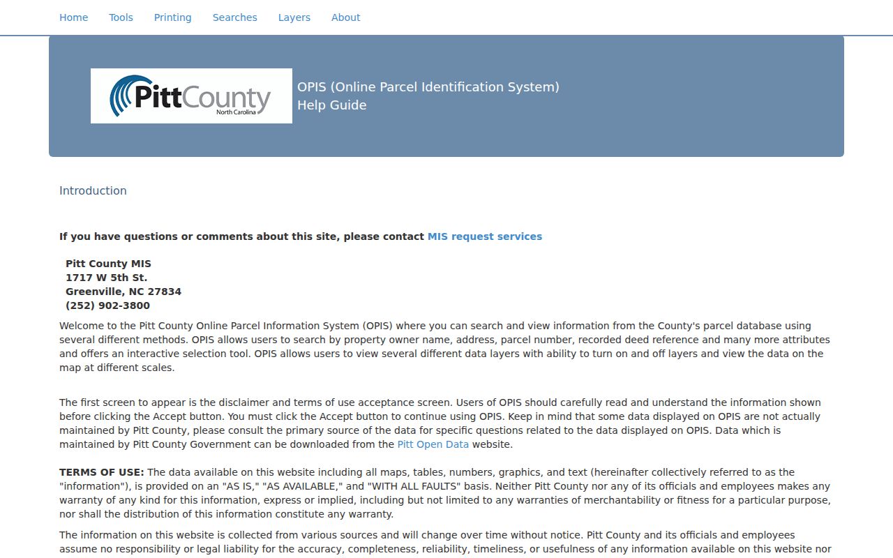
The controls find a parcel record. They do not turn a tax roll into a list of all people at the address.
Greenville Street Directory Terms
Several terms look alike but do different work in a street directory search. The county’s Real Property material expressly distinguishes the parcel’s physical location from the mailing address used for tax notices. A legal description may remain the better link when a street address changes.
- Parcel
- A defined piece of land in the tax and map system, identified in OPIS by a parcel number and geographic NCPIN.
- Situs address
- The physical address or location of the parcel. It is different from the tax mailing address.
- Plat
- A recorded map that can show a subdivision, lot layout, or other legal land relationship.
- Criss-cross directory
- A historical directory arrangement that works from an address or street toward a listed household or business entry for that edition.
Pitt County’s Real Property information illustrates the owner, situs, mailing-address, legal-description, and map distinctions. The screenshot below is useful as a reminder to keep those labels separate when comparing a Greenville street directory result with a deed.
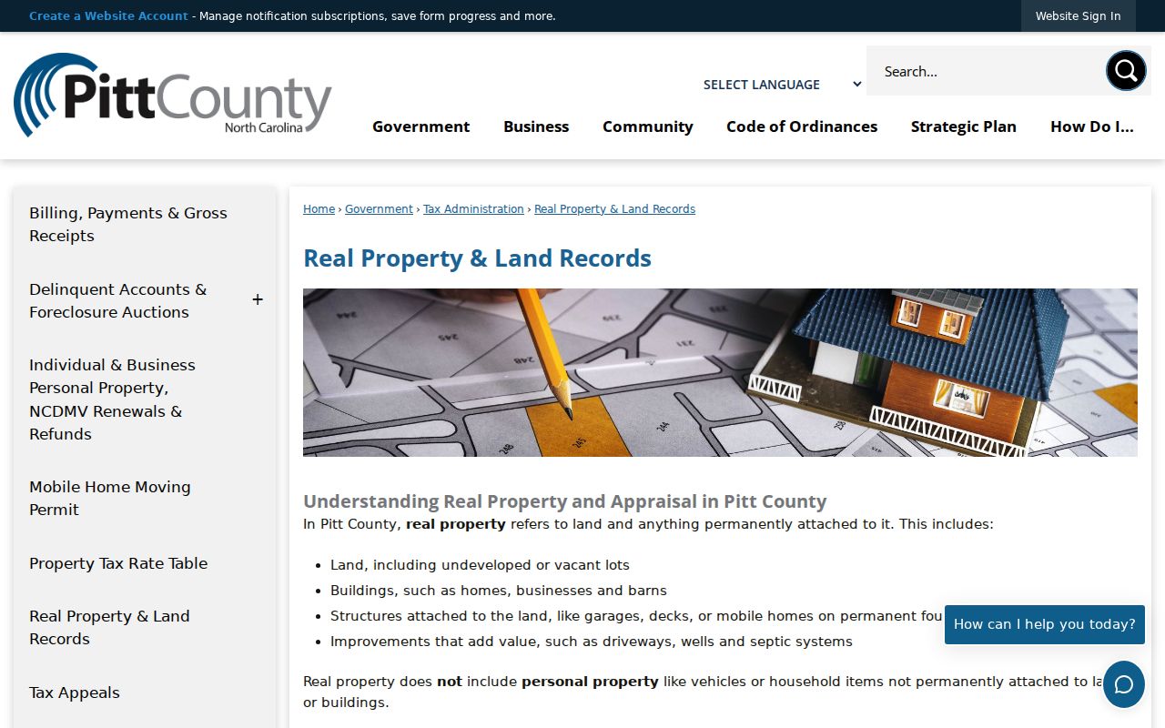
Separating the fields helps prevent a tax correspondence address from being reported as a street-level residence.
Greenville Street Numbers Follow a Grid
Greenville’s street-numbering code makes geography an actual search clue. North Greene, South Evans, West First, and East First are the reference streets named in the code. Blocks are numbered from those references, and even and odd numbers occupy their prescribed sides of a street. When an old directory entry says “E 3d,” compare the abbreviation with the present address point, the parcel, and the relevant map rather than assuming the modern display is unchanged.
The code also describes logical block limits. A long block, a private-drive suffix, or a later extension can explain why a number seen in a historic source is hard to locate today. Greenville’s published street-numbering code is the source for the reference-street and numbering rules shown in this Greenville street directory image.
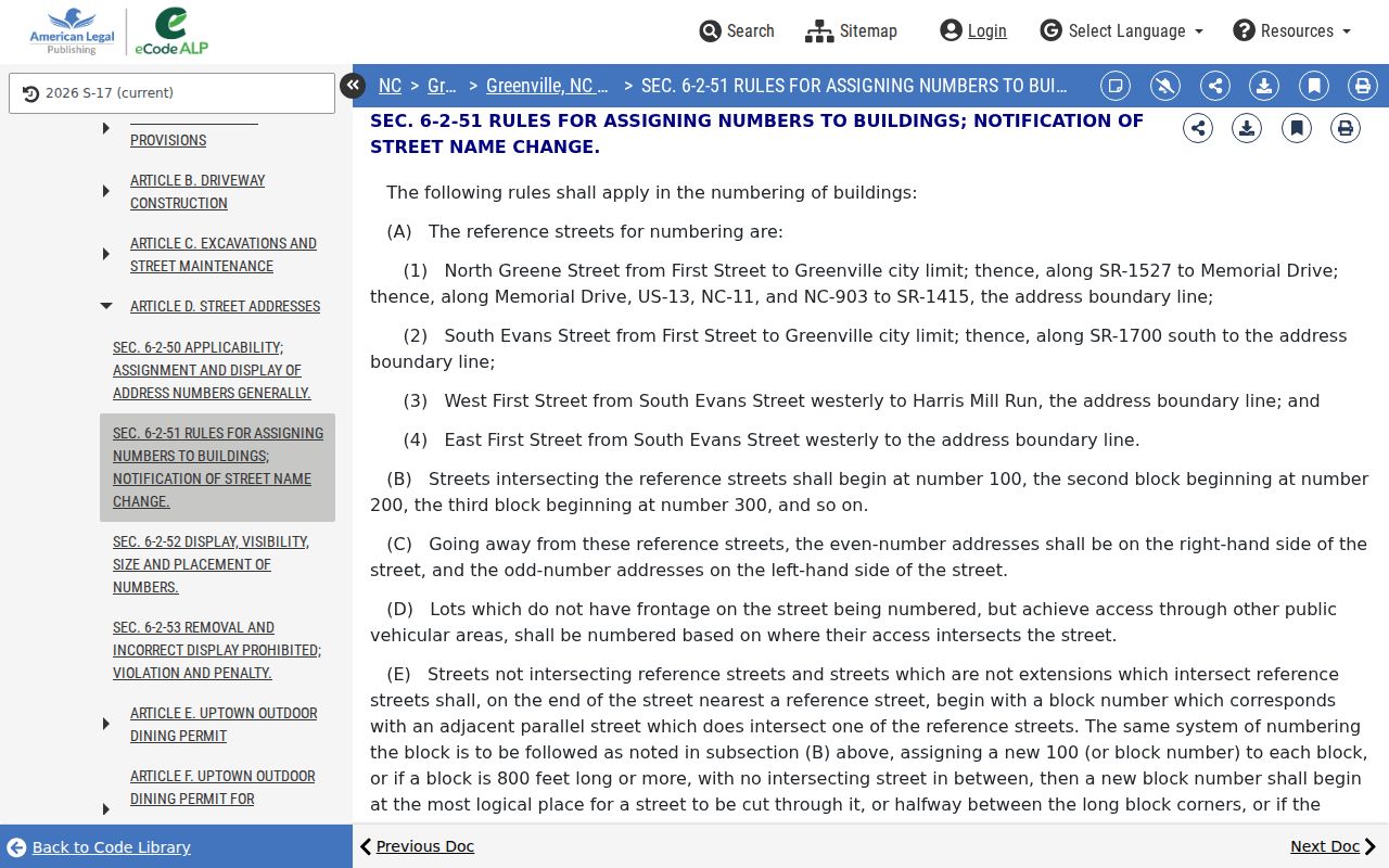
Street numbers help locate a block. They do not identify everyone who may use or visit a property.
Trace Greenville Street Deed Records
The Register of Deeds is the document-level half of the address trail. Its real-estate index states online coverage from September 1762 to the present, with historic index books available onsite. Search controls include Grantor, Grantee, Document Type, Book/Page, and Date Range. A grantor is the party transferring an interest; a grantee is the party receiving it. Those names belong to an instrument, which is why the land index should never be treated as a complete people list.
Start with the OPIS parcel card, copy its deed reference when shown, then inspect the Register result. The portal’s visible result fields include date filed, index, type, grantor, grantee, description marked “Not Warranted,” file number, book/page, reference, amount, and an image indicator. If a parcel was split or renumbered, follow the legal description, NCPIN, and plat before relying on the current street string.
A Pitt County Register of Deeds book and page search shows the type of indexed land-record result available through the portal.
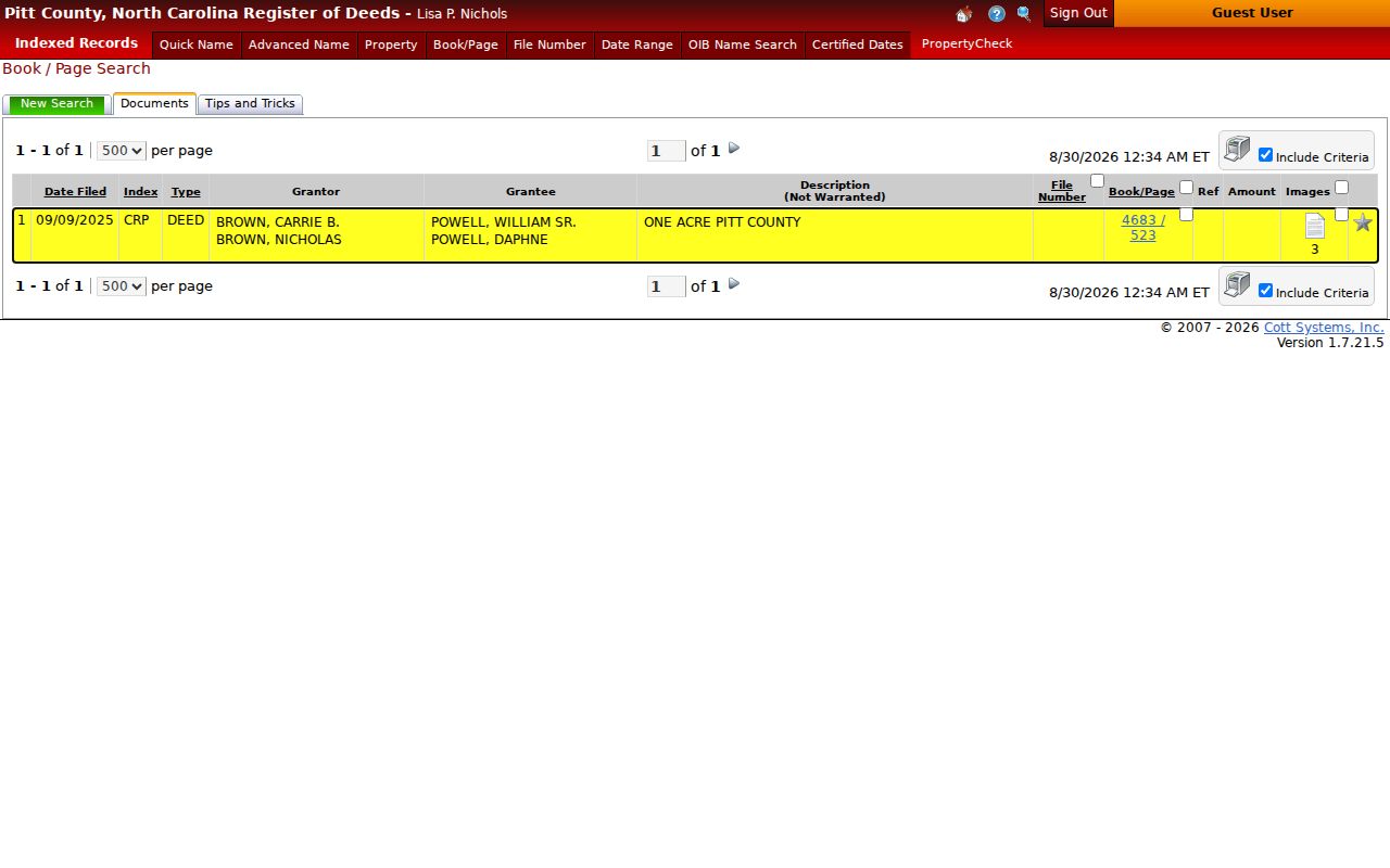
Read the recorded instrument itself before drawing a conclusion from the brief index description.
Pitt County Real Estate Records states the online coverage and onsite historic-index-book availability behind this part of the Greenville street directory trail.
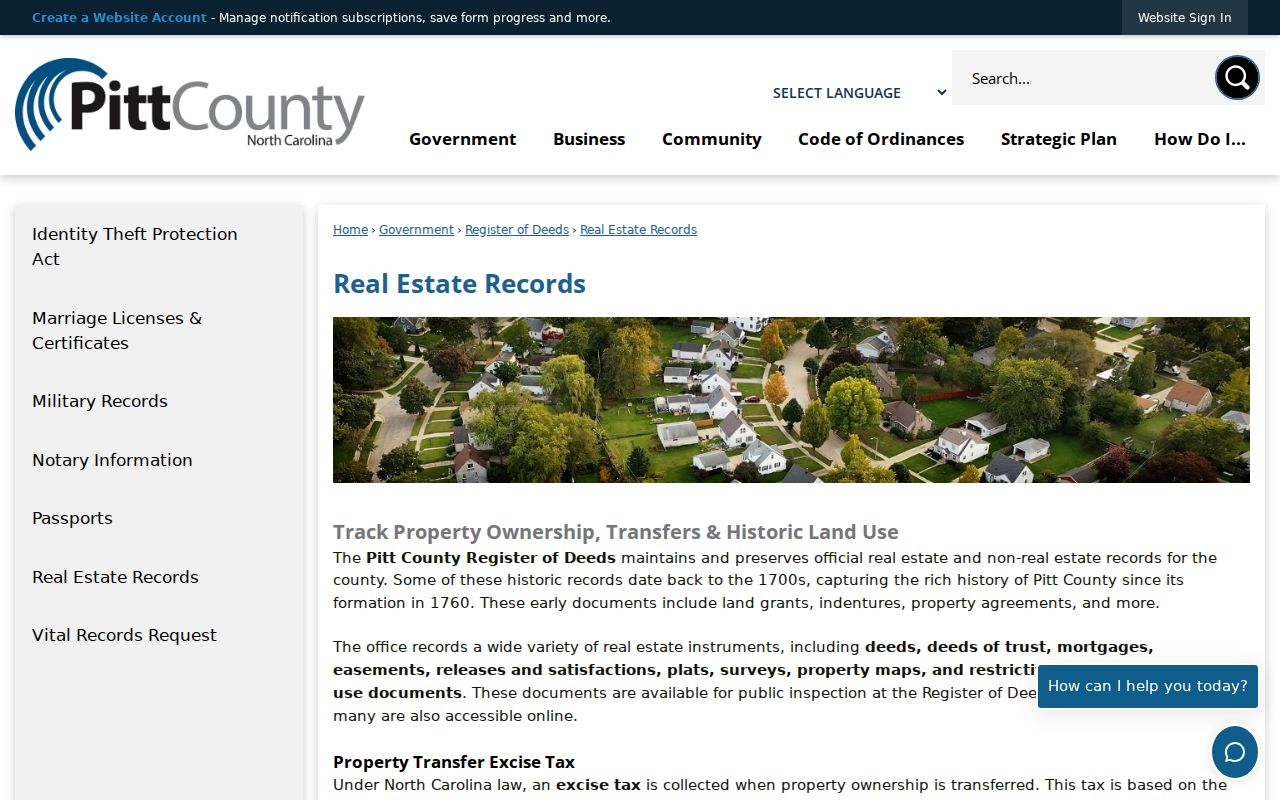
The portal is a land-record index, with a distinct coverage statement and access rules, rather than a general resident search.
Pitt County Register of Deeds identifies the office role and its real-estate record services.
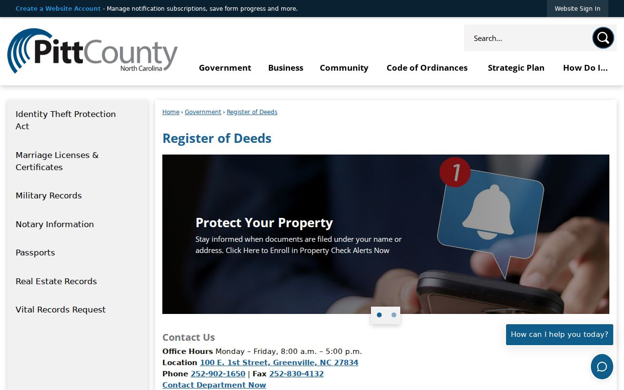
For a record not available online, use the Register office and its stated channels, or consult historic books onsite for the older index trail.
Map a Greenville Street Parcel
A parcel card can also support a place-based street directory review. In OPIS, Adjoiners selects touching parcels, Neighborhood selects parcels in the same tax neighborhood, and Select By Location can apply a buffer with additional criteria. These tools describe physical relationships. They do not convert a block into an occupant roster. Layer, basemap, and orthophoto choices can help compare the mapped parcel with the street pattern.
GreenvilleLink adds city-side context, including address and county-address layers, parcels, ZIP codes, streets, districts, historic properties, zoning, neighborhoods, city limits, and ETJ. The city viewer and county parcel map complement one another because their jurisdictions and purposes are not identical. Use the layer name and its date when saving a result.
GreenvilleLink’s published MapServer identifies the available street, parcel, ZIP, and other city layers.
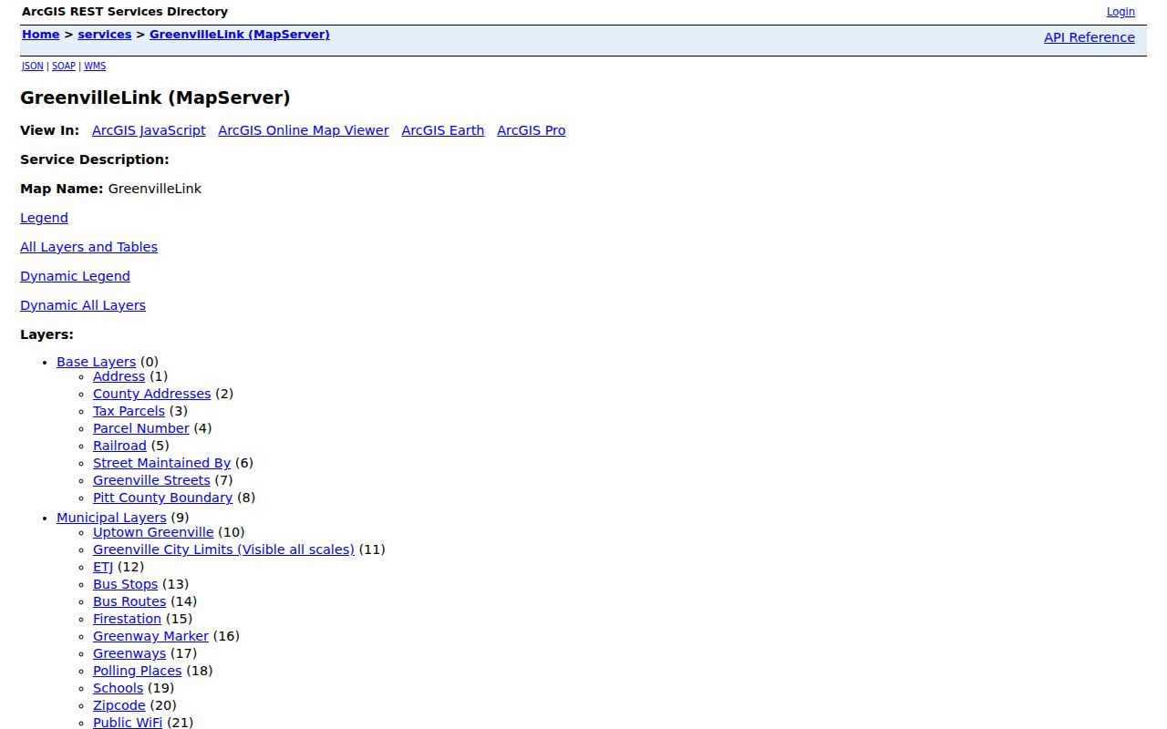
Use a parcel boundary or an address point as geographic evidence, then verify ownership and recorded rights with the county sources.
City of Greenville GIS describes the city mapping resource that makes public geographic layers available.
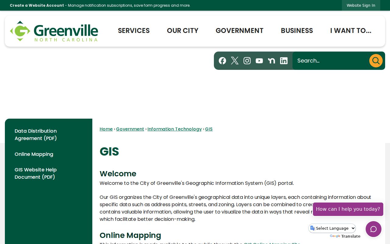
City GIS supplies context for a street and its layers, while the county parcel and Register records remain the source for the underlying ownership and instrument questions.
Greenville Street Permit Dates
City permit material can add a date-stamped building trail to an address search. Greenville Inspections and Permitting directs users to Citizen Self Service for online activity. Its instructions cover permit, plan, and inspection search behavior, while the city’s public permit GIS layer is identified as an EnerGov Permits layer updated daily at 5 a.m. Map freshness and retention are not the same thing.
The city’s inspections FAQ says permit records are retained for six years under the North Carolina General Records Schedule. That means a current-looking layer is not proof of an unlimited historical file. For an older address question, preserve the permit number and date, then ask the city which record channel still holds the relevant material.
Greenville’s permit service is the source for the city permit pathway shown here.
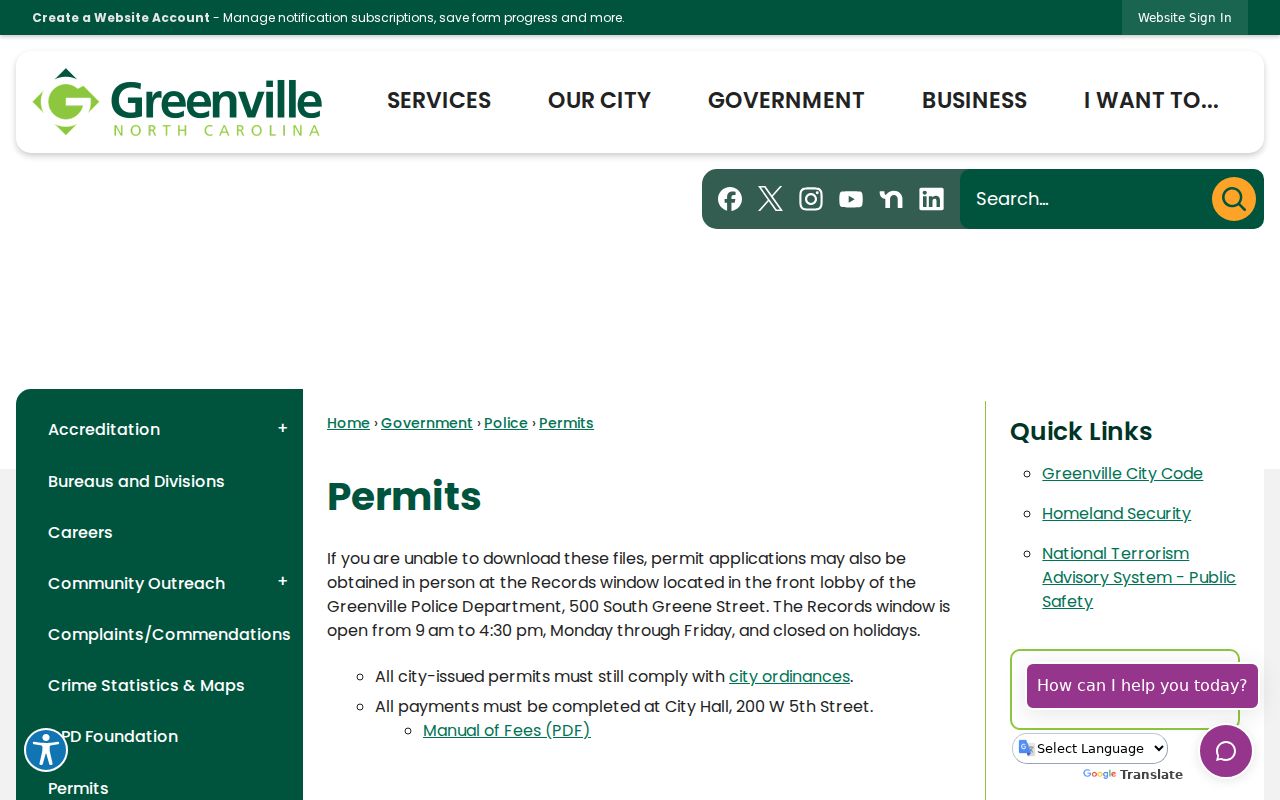
A permit supports a property or work-history question. It should not be used to make a claim about a present household.
Greenville’s public permit GIS layer is the source for the daily-update description used with the retention caution.
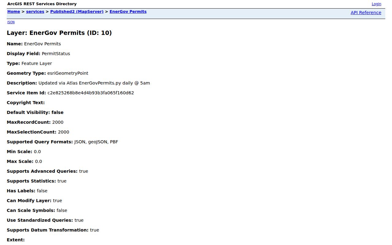
Use the layer’s update statement as a map-freshness note, not as a claim that every permit record remains available indefinitely.
Greenville Street Names Can Change
An older address can carry a present Greenville postal label even if it was outside the municipal boundary at the time. The city’s expansion map reports growth from 5.8 square miles in 1960 to 35.4 square miles in 2010, including 8.7 square miles added from 2000 through 2010. Annexation can extend a city name and change which government handled addressing without changing the parcel’s county record trail.
The city’s Master Street Name Index is dated August 15, 2025. For a possible rename or renumbering, compare the index, an old directory spelling, the deed description, a plat or map, and any annexation material. The street-name process recorded amendments in 1982, 1991, 2006, and 2019. Those dates document the code’s history, not a claim that a particular street changed in each year.
Greenville Street Directory Postal Caution
A ZIP label is useful for mail geography but cannot draw the limit of a Greenville street. The North Carolina Department of Revenue table associates Greenville with 27833, 27834, 27835, 27836, and 27858. It also places 27834 in a Beaufort County context and lists nearby Grimesland 27837 and Winterville 28590 separately. USPS controls the answer for one delivery point.
ZIP boundaries, city limits, municipal service areas, and tax parcels do not automatically match. The Census ZCTA is an approximate statistical geography, not a USPS delivery boundary. Use the city ZIP layer to orient a map, then confirm the precise address through USPS. The Greenville ZIP Directory gives the postal-geography workflow without turning postal codes into city boundaries.
Older Greenville Street Directory Evidence
Historic Greenville/Pitt directory volumes can preserve a street and house number for the edition year, even when current records use a later name or number. Verified local volumes include 1916-17, 1926-27, 1940-41, 1942-43, and 1960-61. Pair a directory result with its printed key, page, date, and a map or deed. A directory may show spouse, occupation, residence notation, or neighbors, but its conventions and spelling reflect its period.
For an older block, the Library of Congress offers Greenville Sanborn maps for 1896 and 1916. A map can show buildings and street spelling, not a verified resident list. The Greenville City Directories page focuses on the collections themselves; use the source scan rather than a copied entry when a historical address matters.
Limits of Greenville Street Records
No official street-level resident roster was located. OPIS is ownership and tax focused. A tax mailing address is not the situs address or proof of occupancy. The Register index lists instrument parties, and voter search is name based with required first and last names. Parcel maps and buffers describe geography, not who is at a location. Address Confidentiality Program participants and other protected records require particular care.
Lawful use. Use Greenville address records for personal, lawful research and verify results with the responsible office. Never use a street or parcel result to stalk, harass, intimidate, or harm anyone.
North Carolina allows sensitive identifiers in publicly accessible Register of Deeds or court images to be the subject of a proper redaction request. Do not try to reconstruct protected addresses through parcel, voter, directory, or map cross-checks.