
Greenville Neighbors by Parcel
The public record can describe a Greenville block without creating a household roster. A parcel viewer locates property boundaries and identifies current owner fields. City GIS layers add street, address, ZIP, district, historic-property, and city-limit context. Voter data has a separate public scope. Association pages identify city support resources, not member households. Each source answers one part of a place-based question, so compare the record type and date before drawing a conclusion about Greenville neighbors.
| Source | What It Shows About a Block | Access Coverage |
|---|---|---|
| Pitt County OPIS | Parcel boundary, current owner, parcel or NCPIN, situs, mailing address, legal description, and map context | Online map, Land Records office, phone or email, public-record request, and map export where available |
| GreenvilleLink GIS | City and county addresses, tax parcels, streets, ZIP, districts, historic properties, city limits, and ETJ layers | Public map service, City GIS, Planning or E-911 channels, and county Land Records |
| NC voter records | Public registration status, county, precinct, districts, and voter-history information | State lookup or data files, Pitt Board counter, phone, email, and written request |
| City association resources | Association-support and neighborhood-resource contacts | City pages and Neighborhood Liaison support; no official public member roster located |
| Historic preservation records | District, landmark, map, or application context for a block | City preservation page, GIS layers, Planning, library, and Archives channels |
The GreenvilleLink MapServer shows the address, parcel, ZIP, street, district, and neighborhood-layer setting relevant to Greenville neighbors.
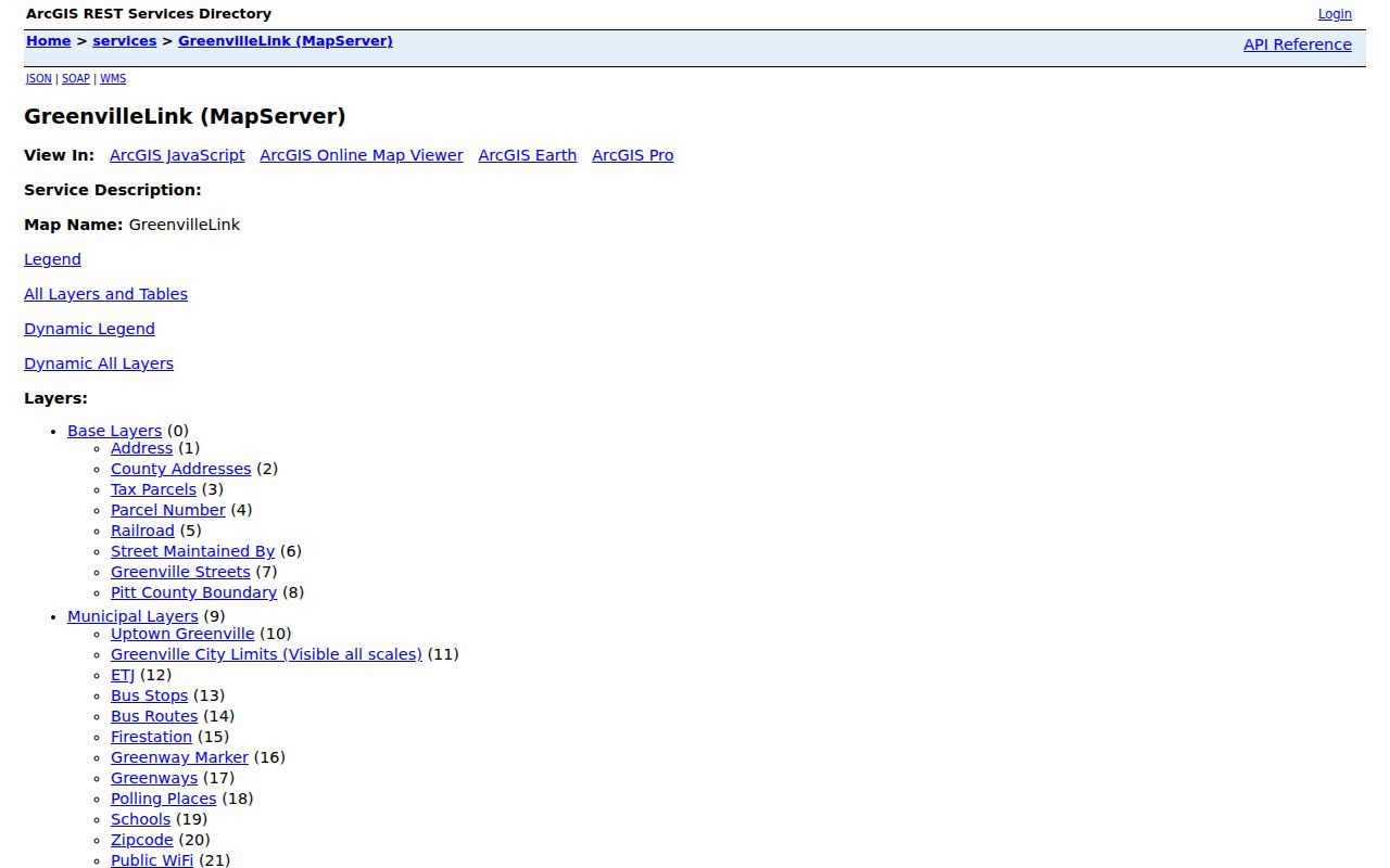
Use a map layer to understand the geography of a block, not to claim that a particular person is present there.
Map Greenville Neighbor Parcels
Pitt OPIS provides the most direct parcel workflow. Search a present address, open the parcel’s Details card, and record the parcel number or NCPIN with the legal description. Use Adjoiners for parcels that physically touch the selected parcel. Use Neighborhood for the same tax neighborhood. Select By Location can apply a buffer and additional criteria for a broader area. OPIS also allows layer, basemap, and orthophoto changes, but its documentation says coordinates may be approximate and some components are not county-maintained.
- Find the address in OPIS and open the matching parcel detail rather than relying on a simplified result line.
- Record the parcel number, NCPIN, situs address, current owner field, and legal description.
- Choose Adjoiners for touching lots, or use Neighborhood or a buffer only when a wider geographic view is needed.
- Read each selected parcel as an ownership and tax record. Do not turn the selection into a list of occupants.
The Pitt OPIS help documents the address, parcel, NCPIN, advanced-filter, adjoiner, and buffer controls.
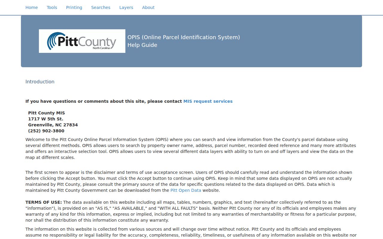
For a full named-street chain of deeds and address records, use the Greenville by-street directory rather than expanding a neighbor search beyond the immediate block.
Read Greenville GIS Layers
GreenvilleLink layers separate city address points from county addresses, and both from tax parcels. The service also exposes Parcel Number, railroad, street-maintenance, Greenville Streets, Pitt County Boundary, ZIP code, subdivisions, schools, parks, zoning, city limits, and ETJ-related layers. That separation matters. A postal label, a tax parcel, and a municipal boundary describe different systems. Comparing them can explain why two nearby lots have different custodians or service contexts.
The City’s GIS overview describes its public mapping role and access path.
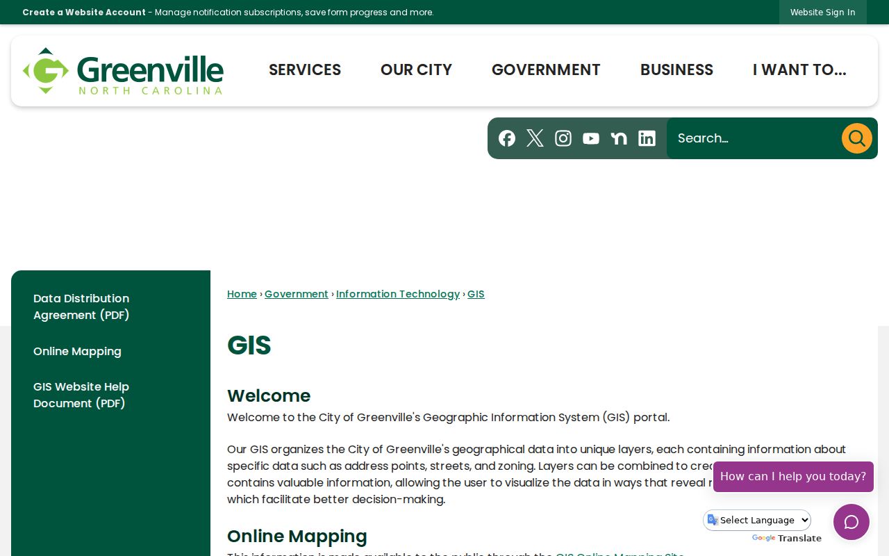
City GIS gives the map context; the county parcel record supplies the tax and owner fields that need separate interpretation.
The Greenville permit map service is one example of a city map layer with its own update schedule.
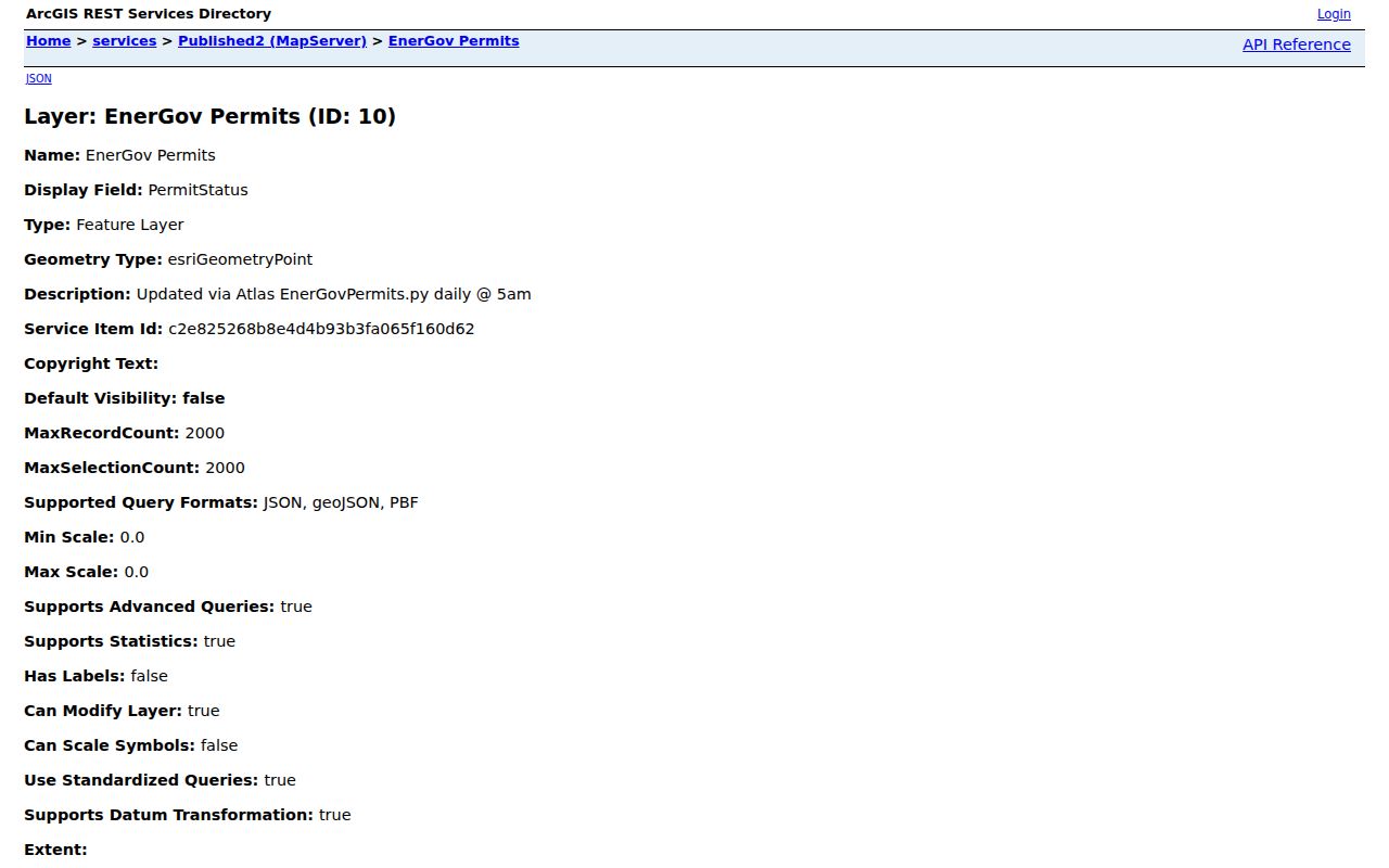
Permit-map visibility can refresh daily, while the city says permit records are retained for six years, so a map layer is not a permanent neighborhood history.
Separate Greenville Neighbor Owners
Owner names are not occupant names. Pitt County distinguishes the physical, or situs, address from the tax mailing address. A property can be in Greenville while a tax notice goes somewhere else. A deed party can be connected to a land transfer without living on the parcel. The OPIS tax roll is therefore an ownership-focused starting point, not evidence that every selected parcel contains the named person. A neighbor search should describe the parcel relationship and leave any unverified household connection unstated.
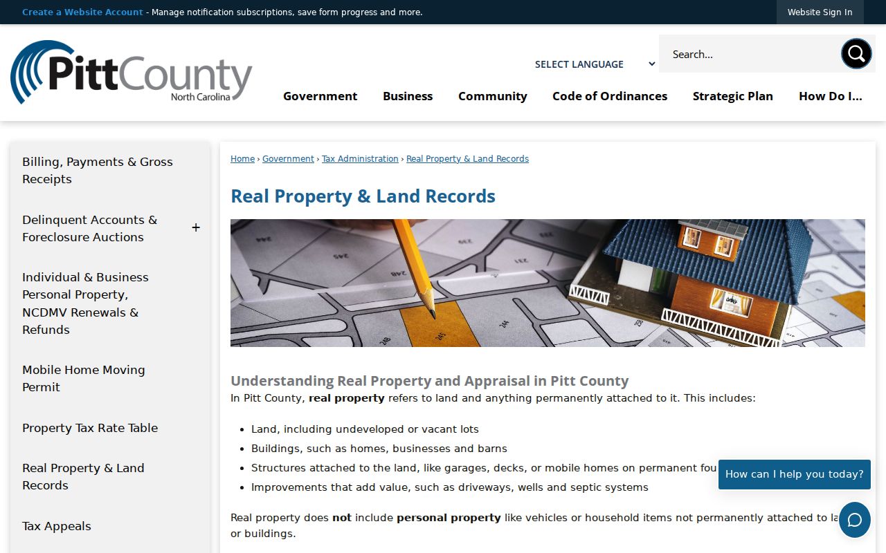
The County’s Real Property guidance shows the owner, situs, mailing, legal-description, and parcel distinctions.
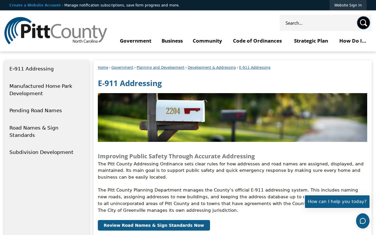
When an address lies outside city jurisdiction, Pitt Planning assigns E-911 addresses; Greenville manages addressing within city jurisdiction.
The Pitt E-911 Addressing page documents that city and county responsibility split.
That jurisdiction line helps explain a record’s address source, but it does not identify who lives at the address.
Check Greenville Voter Records
The state voter search uses a name, optional year of birth, optional county, and a required status choice. Its public results may show county, status, return status, and voter history. Under North Carolina law, a selectable voter list can include name, county voter ID, residential or mailing address, sex, race, age, party, precinct, district, and voter history, with statutory exclusions and protected-address rules. Voter history shows election participation and method, not candidate selection.
At block scale, voter information remains a limited, dated public record. It is not a reason to publish a block roster, infer daily presence, or bypass an address-protection rule. Full or partial Social Security numbers, date of birth, driver-license information, certain email fields, and signature copying are excluded or restricted. Pitt Board and the State Board provide the documented counter, telephone, email, request, and lookup channels when a public voter question needs an original custodian.
Use Greenville Association Resources
Greenville supports neighborhood and homeowners associations, and the city can help residents start an association. The reviewed city sources provide support resources rather than a public resident directory. No official public association member roster was located. That boundary matters because a civic group’s existence does not disclose its household list. Use association information for a legitimate community contact or neighborhood context, not to assemble personal profiles of Greenville neighbors.
| City Resource | What the City Identifies |
|---|---|
| Neighborhoods | City neighborhood information and support context. |
| Neighborhood and Homeowners Associations | Association resources and help for organizing, without a verified public member list. |
| Neighborhood Liaison | Tony Parker, 252-329-4658, for city association-support contact. |
The City’s Neighborhoods resource supplies the Greenville community-support context.
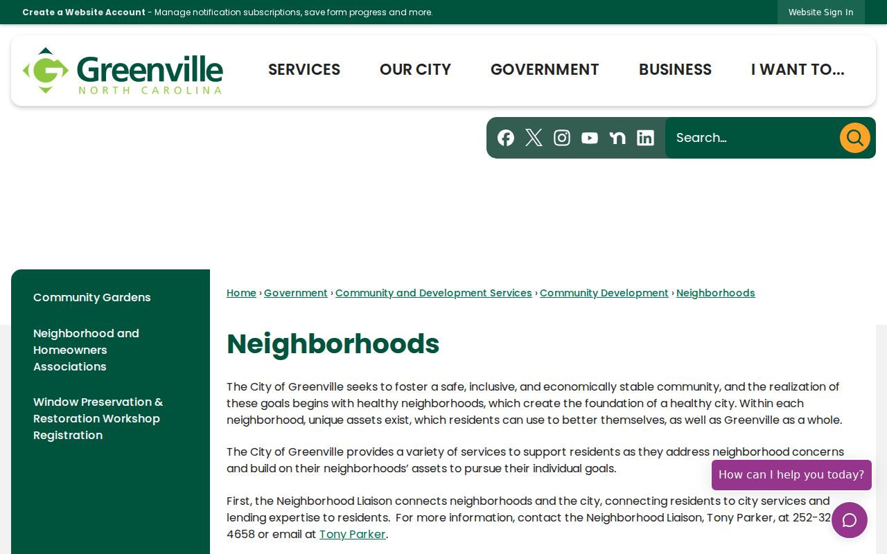
The resource points toward community support, not a searchable directory of people on a block.
The Neighborhood and Homeowners Associations page records the city’s association-support channel.
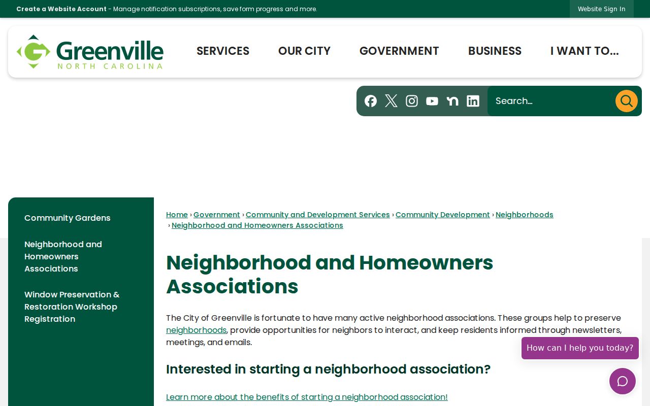
Contact the city liaison or a named organization through its own published channel instead of treating a map or parcel list as a membership list.
Place Greenville Neighbors Historically
Historic context can make a block easier to understand without naming present-day households. Greenville identifies College View as a local historic district adjacent to East Carolina University. The city lists 33 local landmarks and five National Register districts: Dickinson Avenue, Greenville Commercial, Skinnerville-Greenville Heights, Tobacco Warehouse, and College View. An older city PDF reports 24 landmarks, so the current list should be understood as a dated city count, not silently substituted into an older source.
The Greenville Historic Preservation page supplies the district and landmark context.
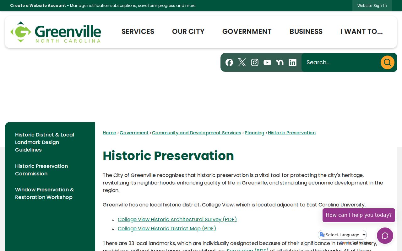
A historic district or landmark may lead to a preservation file, map, architectural description, or application, but it is not a current resident directory.
Compare Greenville Neighbor Sources
Official records keep the scope visible. A parcel card identifies an owner and the land record’s fields. A GIS layer identifies mapped geography. A voter result uses the state’s public-record limits. A commercial neighbor-search category may combine information from unclear dates and sources, so it cannot replace the office that created the record. When results conflict, return to the original Pitt County, City of Greenville, or North Carolina custodian.
| Official Record Route | Commercial Neighbor-Search Category |
|---|---|
| Names the custodian, record type, and access channel. | May combine data without showing the original record or date. |
| Shows whether a field is ownership, map geography, or public voter information. | Can blur those categories into a broader personal claim. |
| Offers a correction or copy route through the original office. | May not provide a reliable path to correct the underlying record. |
Use the source date and the record’s stated scope before relying on any block-level result. An owner field, a map point, and a voter status all need their own confirmation path.
Protect Greenville Neighbor Privacy
Protected addresses, sealed records, full personal identifiers, and unredacted signatures do not belong in a neighbor search. North Carolina’s Address Confidentiality Program provides a substitute address and mail forwarding for qualifying survivors, and a participant can seek voter-address confidentiality through the documented process. Never attempt to reverse an ACP address using parcel, voter, or directory cross-checking. A public parcel boundary does not make private household information public.
North Carolina’s stalking statute describes conduct that can include repeated monitoring, observing, or surveilling without legitimate purpose when it causes the required fear or distress. Keep a block search tied to a genuine personal, civic, or property question. For a sensitive record, use the original agency, the court protection process, law enforcement, or an appropriate advocate rather than trying to identify a protected person.
Lawful use. Greenville neighbor records are for lawful, personal research and community context. Do not use them to watch, harass, intimidate, or harm anyone.